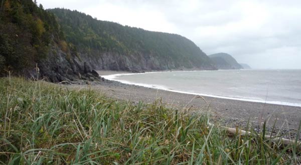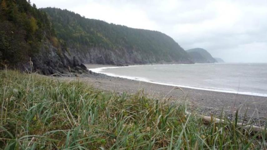
The footpath is a challenging wilderness trail that starts at the Fundy Trail suspension footbridge at Big Salmon River, near St. Martins, and hugs the coastline to Fundy National Park, near Alma. The eastern and western sections of the Fundy Footpath form a continuous trail from beginning to end. The rugged Fundy terrain leads up and down from an elevation of 0 to 300 m (984 ft.) across a dozen ravines and 2 tidal rivers that can only be crossed during low tide. One of the last remaining coastal wilderness areas between Florida and Labrador, the views and wilderness experience are spectacular! The trail can be hiked in 4 to 5 days. Camping conditions are primitive (no designated campsites), water treatment is necessary, fires are not permitted and a backpacker stove is recommended. A Fundy Footpath map kit (includes tide charts) can be purchased at the Fundy Trail Provincial Park Interpretive Centre or at other locations. All hikers are required to register by calling 1-866-386-3987. The footpath is also accessible from the Point Wolfe parking lot at Fundy National Park. Registration is required for parking and camping within the park. Please call 1-506-887-6000 or e-mail [email protected] to register.
Trail Type: Hiking
Level: Advanced
Length: 64 km (40 mi.)