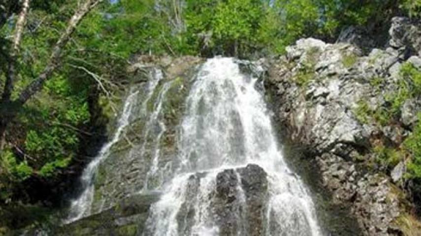
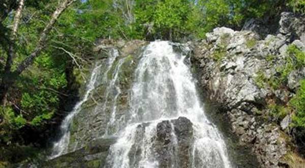
The Wolastoqiyik (Maliseet) Trail is part of the Sentier NB Trail network, as well as part of the historic portage and canoe transportation route linking the Saint John River system with the St. Croix River, used by the Wolastoqiyik (Maliseet) First Nations people for millennia. The trail joined the Saint John River with the Penobscot River in Maine and was used up until the 1600s. The trail connected through many lakes, rivers and streams and was comprised of over 200 km (125 mi.) of paddling and 20 km (12 mi.) of portaging. Today the Maliseet hiking trail is only a small portion of its former self and is mainly used to access Hays Falls, which is only 2 km (1.2 mi.) from the main road. The trail ascends through a mainly softwood forest and transitions into a hardwood ridge. Just after a kilometre (mile) the trail branches to the right. Continuing straight will take you to Trans-Canada Highway 2. Once at the highway the trail continues through large culverts under the highway, then past the highway for a short distance, and then becomes increasingly hard to follow until it is no longer a trail. The trail to highway 2 is used by ice climbers for quick access to the falls in winter. The right branch of the trail descends towards the falls. After a short distance the trail branches again. The trail to the right continues to descend to the bottom of the falls and the trail to the left ascends to the top of the falls. Hays Falls is where Hays Brook plunges over one of the highest and most beautiful waterfalls in New Brunswick. The flow of the cascading water varies depending on seasons and weather, but this waterfall nestled in a forested environment offers a beautiful sight at any time.
Maliseet Trail