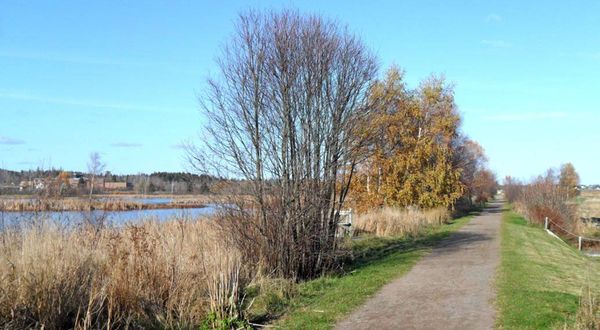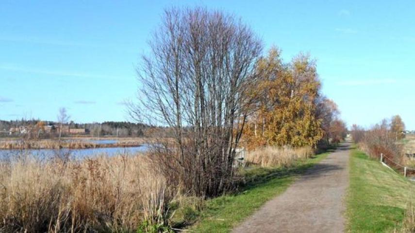
This former railbed, part of the Trans-Canada Trail system, links Sackville with the village of Port Elgin. The trail begins at a dyked wetland behind Tantramar Regional High School, then skirts the Tantramar Marsh. After crossing several working farms near Midgic, the trail then passes through an isolated stretch of forest, before emerging at Route 16 near the community of Baie Verte. It ends at a working fishing wharf on the Gaspereau River in Port Elgin. Waterfowl and shorebirds, eagles, osprey, hawks and Great Blue herons can often be seen feeding on the Baie Verte Marsh and along the Gaspereau River Estuary.
Trail type: Linear
Length: 33 km (21 mi.)
Surface: Crushed stone, raised railbed